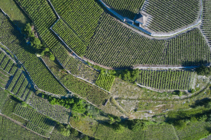

Quantification of the ground vegetation cover in Valais vineyards based on satellite imageries – status 2013: Project VitiSol 2013–2018
Abstract
One of the major goals within the project VitiSol 2013 to 2018 is to increase the number of green vineyards in Valais. In this report the state of the Valais vineyards and their ground vegetation cover was quantified in 2013. It will be the basis to quantify the habitat improvements at the end of the project in 2018, in order to control whether this goal was achieved. For this purpose satellite pictures were taken in April 2013, based on which the amount of ground vegetation in the vineyards could be calculated using the Normalized Difference Vegetation Index (NDVI). In order to verify and validate these NDVI values, the ground vegetation cover was mapped directly in the field for a subsample of 250 vineyard parcels. The mean NDVI of all communities together was low (0.22 ± 0.03), and at least 79% of all vineyard parcels did not have a clearly visible ground vegetation cover. Only 21% respectively 0.7% of the whole vineyard area showed a ground cover above 40% and 80%, respectively. Further these results should be interpreted with caution given the fact that NDVI values are limited by various factors and specifically here they may be too high, as some parcels probably still had the winter greening at the time when the satellite picture were recorded, but might later be treated with herbicides. Nevertheless, this overview shows that there still is a lot of potential to improve the amount of ground vegetation cover and to increase the number of green parcels in Valais vineyards.
Employees